As I really like to share my photos from the trail and provide some infos alongside them, I’ve tried out lots of tools and apps for this.
Unfortunately none of them did everything in a way I liked: so I had to do it myself 🙂
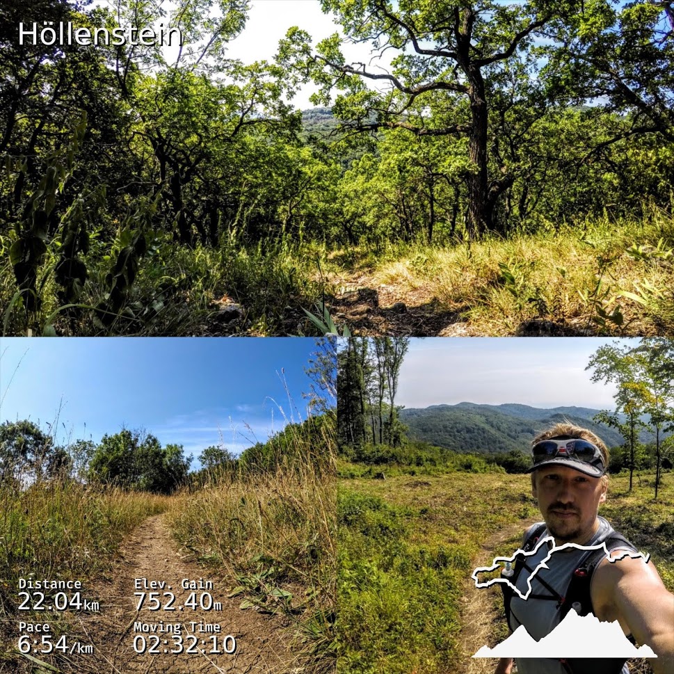
What did I want to have on the photo: distance, pace, elevationgain, time and an outline of the track would be cool.
Alongside the way, I also tought the elevationgraph would make sense and then I spent some time and implemented all of this and published it as a free tool: gpxoverlay.
The pictures from there look somehow like this:
I hope someone finds this as useful as I do and I would be happy to hear any feedback or other ideas for further development!
Recent Comments